
The Floods of August, 2012
Hurricane Ernesto and Tropical Depression 7
Hurricane Ernesto:
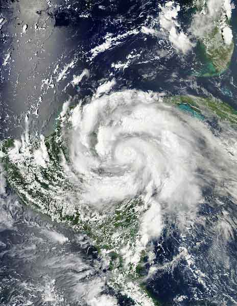
Late on August 7, the Hurricane Ernesto moved over Banco Chinchorro offshore extreme eastern Mexico then made its mainland landfall near Mahahual, Quintana Roo, at around 0800 CST, with winds of 74 KTS (85 MPH). The Consejo.Bz Weather Station in Consejo Shores reported Maximum Sustained Winds of 28.7 KTS (33 MPH) with the highest gust being 38.3 KTS (44 MPH). Consejo also received copious amounts or rain with 7.83 inches recorded in Consejo Shores.
Throughout Belize damage to infrastructure was minimal but NEMO reports that the agricultural sector experienced losses of Bz$763,000. Corn, sugar cane, papaya and plantain were damaged. The greatest damage was to papaya crops where 23 acres in Fruta Bomba and Little Belize were damaged. The value of the combined losses is Bz$695,000.
NEMO reported 592 persons went into shelters countrywide, 314 of them in Corozal and that 911 persons voluntarily evacuated San Pedro and Caye Caulker.

After landfall in the Yucatan, Ernesto quickly weakened to tropical storm status as its convection weakened over land. It reemerged over the Bay of Campeche, and intensified into a strong tropical storm, making a second landfall near Vera Cruz. The storm moved inland across the Isthmus of Tehuantepec on the afternoon of August 9, and into southern Mexico before dissipating on August 10. The remnants emerged offshore the southwest coast of Mexico into the Eastern Pacific ocean during the afternoon of August 10, contributing to the development of Tropical Depression Eight-E, which strengthened into Tropical Storm Hector in the Eastern Pacific basin.
So, damage from Hurricane Ernesto was minimal in Belize and there was very little flooding except in low lying flood prone areas. But Mother Nature wasn't done. On the heals of Ernesto came the remnants of Tropical Depression 7.
Tropical Depression 7 / Tropical Storm Helene:

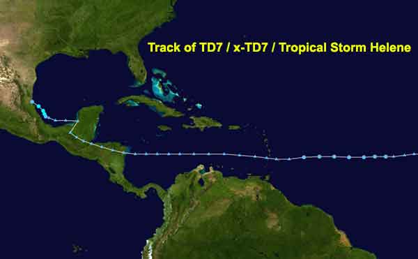
Remnants of TD7
Tropical Depression 7 formed in the Tropical Atlantic just East of Caribbean on August 9. The immediately upon entering the Caribbean, the storm encountered strong wind shear and very dry air and was declared and open wave by the NHC at 11AM on August 11. The remnants, excluding a very strong moisture surge, continued West across the Caribbean toward Belize. The wave axis moved over Southern Belize on the night of August 14 bringing only 0.13 inches of rain to Consejo. The worst was yet to come!
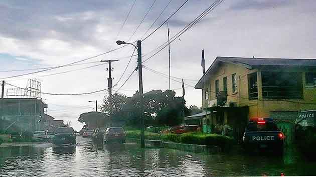
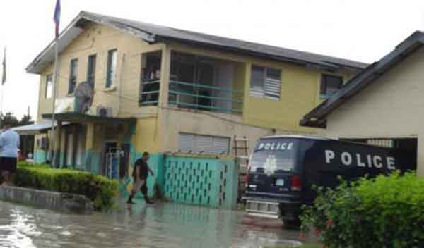
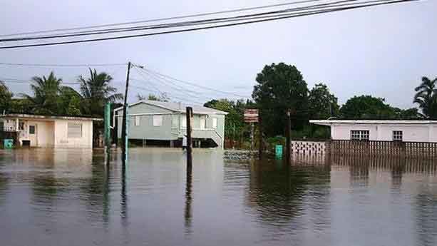
Beginning around 10PM CST Wednesday August 15, x-TD7's trailing moisture arrived over Northern Belize bringing torrential rains to the area. By 7AM the following morning over 8.25 inches of rain had been recorded by our Weather Station in Consejo Shores. For a brief period during the night the Consejo.Bz Weather Station reported a rain rate of over 17 inches per hour.
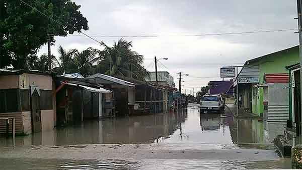
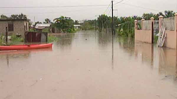
By morning, many yards were flooded, all the roads had standing water and Corozal-Consejo road was impassible, having nearly 2 feet of standing water in places. But x-TD7 wasn't through. By early Friday, August 17th the storm total rainfall reached 11.27 inches in Consejo Shores. A few hardy souls with high ground clearance 4x4s made the trip into Corozal Town on Friday only to find the majority of that town flooded.

In the aftermath of both Hurricane Ernesto and the rains from x-TD7, there was a lot of damage to the agricultural industry in Northern Belize specifically to the sugar cane crop. Minister of State in the Ministry of Agriculture, Hugo Patt says that while the technical damage assessment is still occurring, it is fair to say that the losses will range in the millions.
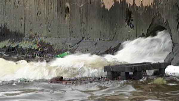
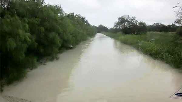
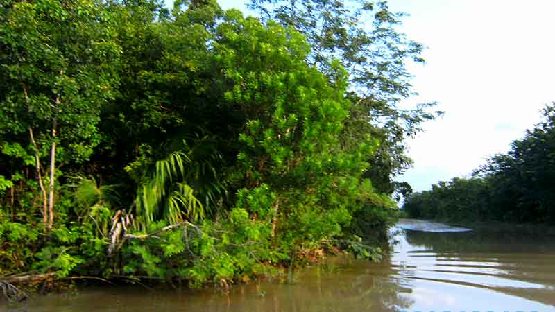
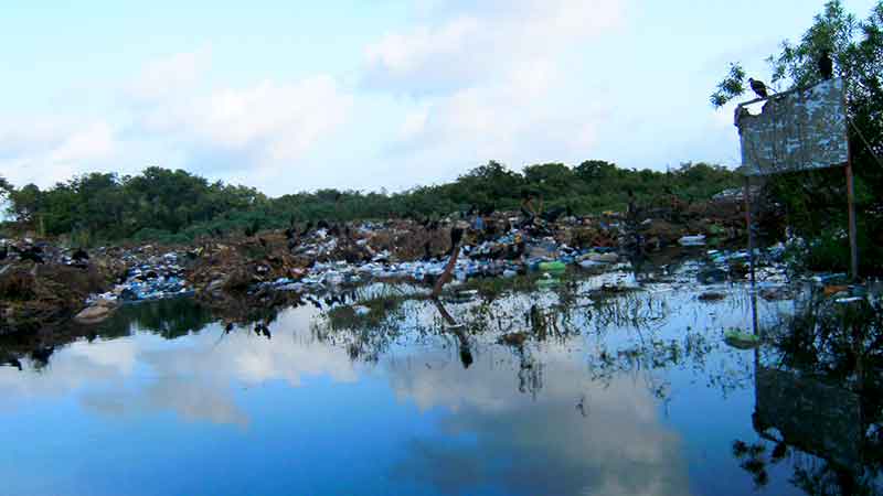
Corozal - Consejo Road Monday 20 August 2012
It was necessary to drive to Chetumal on the 20th. The road was still under up to 16 inches of water. There were three mud bogs that were difficult to traverse. The flies at the Dump were almost as bad as the stench!


X-TD7 passed over Southern Mexico and emerged into the Bay of Campeche where it finally was able to develop into Tropical Storm Helene. Helene made landfall near Tampico, Mexico on August 18 bringing moderate rains to areas previously affected by Hurricane Ernesto. However, according to state officials in Veracruz, no rivers reached flood stage. Only two communities within the city of Veracruz reported street flooding.
The Consejo.Bz Weather Station reported the following storm totals:
- Storm total for TD7: 11.27 inches.
- Storm Total for TS Ernesto: 7.83 inches
- Average Total For August: 5.53 inches
- August 2012 Total: 20.89 inches